Using the subpixel model to enhance the spatial resolution of the DEM model
Using the subpixel model to enhance the spatial resolution of the DEM model
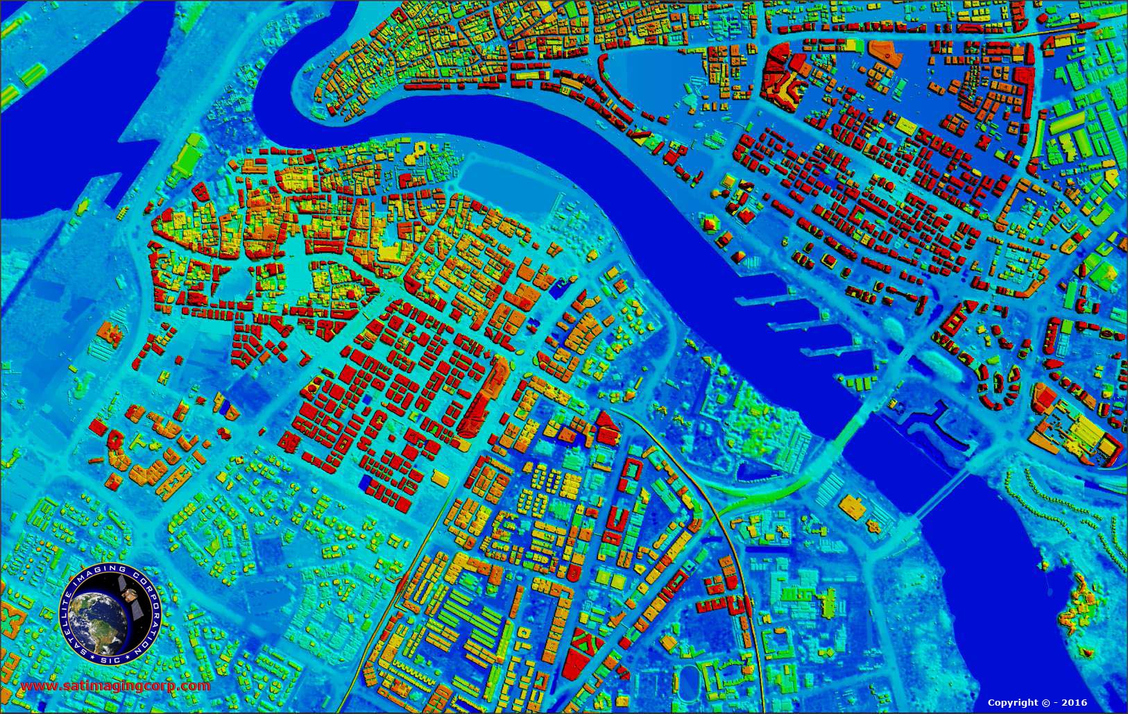
Topography as a factor controlling the spatial distribution of soil moisture, vegetation, soil salinity, soil texture, etc. plays an important role in changing soil properties and hydrological processes (Sorensen et al., 2005; Grabs et al., 2009). In recent years, topography has been used as an important factor in predicting soil properties, climate, land, etc. (Janzen et al., 2000; Starr et al., 2002). Due to the importance of topography in extracting different information, the use of satellite images with high spatial resolution seems very necessary. Until now, various methods have been used to increase the spatial resolution of satellite images, but none of these methods have been applied to digital elevation models (DEM). Getting more detail from the pixels by sub-pixel mapping was first presented by Atkinson (Atkinson, 2005).
In this technique, the pixels are subdivided into several subpixels according to the values of the neighboring pixels. In this method, sub-pixel mapping divides a large pixel into sub-pixels and assigns a ground cover class to each sub-pixel, with the limit that the total number of sub-pixels of each class directly corresponds to the percentage of the major original pixel canopy. (Atkinson, 2005).
In this way, soft input floors can be converted to hard resolutions with better resolution. The main problem in sub-pixel mapping is the location of each land cover class in larger pixels (Verhoeye, R.D. Wulf, 2001). Various methods have been proposed to solve this problem, such as the Hopfield network (Tatem et. Al, 2001; Muad and Foody, 2012), the BP neural network (Wu et. Al, 2011; Wang et. Al, 2011), Linear optimization technique Tatem et. Al, 2001), the spatial attraction model of Wang et. Al, 2011) (Mertens et. Al, 2006; Pixel displacement algorithm (Atkinson, 2005), Genetic algorithm (Mertens et. Al, 2014), Artificial immune system (Zhong et. Al, 2009), Markov random chain (Kasetkasem et al, 2005; Tolpekin and Stein, 2009; Ardila et. al, 2011), and geostatistics (Boucher et. al, 2006; Boucher and Kyriakidis, 2008).
The results of Boucher et al .'s study of increasing spatial resolution using gravity model on satellite images showed that this model is very useful in increasing resolution (Boucher, et al., 2008). In the gravity model the pixels are classified and in fact each pixel is classified into several classes. Assuming more spatial dependence, more data is run closer to the farther data than this model. (Atkinson, 2005) Subpixel mapping is a method for obtaining spatial distribution of different classes at subpixel scale. The statistical assumption of the spatial dependence of the pixels was performed by Atkinson, Verheu and Wolf using a linear optimization technique for sub-pixel mapping (Atkinson, 2005; Verhoeye, R.D. Wulf, 2001).
One of the methods of dividing pixels is to use the spatial dependence of the position of the sub-pixel absorber pixels. Another possibility is the sub-pixel sub-pixel interaction assumption adopted by Mertens et al. And Atkinson (Atkinson, 2005; Mertens et.al, 2006).
Mertens et al. Proposed the use of a genetic algorithm to achieve the maximum number of sub pixels of the same neighbor classes (Mertens et.al, 2006, while Atkinson proposed pixel displacement to maximize spatial correlation between neighboring sub pixels (Atkinson In both of these methods, using a small fraction of the initial pixel values was identified as a limitation, one of the advantages of the gravity subpixel method is the use of scaling in general, a relatively new method less common in the natural sciences. In order to increase
The spatial resolution of the images is used.
Read more in Leidar Data Processing Book
Authors Saeid Joyzadeh, Manijeh Brahimi, Mojgan Sadeghat
Phone Book Order: 09382252774 - 07132341477
DEM Resolution, Digital Elevation Models Quality,saeed javizadeh,climatologist,shiraz,iran, Sub-Pixels in DEM, Using Sub-Pixels Model, DEM Quality, DEM Accuracy, DEM Model, Digital Elevation Model, Digital Surface Model, Model, DTM Ground Digital Model,, Digital Terrain Model , Digital Elevation Model, Evaluation of DEM, DTM, DSM, DSM, DSM and DTM Generation of Models, DSM and DTM Generation of Lidar Data, DSM and DTM Generation of Lidar Data, Elevation Modeling Training, DSM , DEM, DTM, production, DEM production DTM, digital elevation model production, digital surface model production, digital terrain model 3D training in arcgis, 3D training in GIS, 3D training, gis, DEM 3D training in ArcGIS, 3D DEM display, DEM application, user DTM, the use of DSM,, free download sites DEM, model subpixels to enhance spatial resolution DEM model
 Dr. Saeed Javizadeh is the Director of the Third Millennium Scientific- Research Institute and loves the Geographical Sciences. He believes that the main enemies of humanity are fear, doubt and aimlessness. Bachelor of Natural Geography from Yazd University in 2002, MA of Natural Geography from Kharazmi University in 2005 and her Ph.D. in 2018 from Kharazmi University. The title of his thesis is "Spatial Analysis of Drought in Iran". He specializes in Geographic Information Systems (GIS) and Remote Sensing (RS) and Spatial Statistics. Since 2002 he has been teaching in public and private universities and centers. He holds specialized workshops for GIS and RS enthusiasts each year. He has written useful and practical books on geographic information systems and remote sensing and spatial statistics. He is currently working on advanced drones and programming in GIS and Remote Sensing. In addition, Saeed Javizadeh is interested in drought studies and natural disasters and has authored numerous books on drought. Dr. Javizadeh's wishes for an epidemic of GIS and spatial statistics between the people and the decision-making body